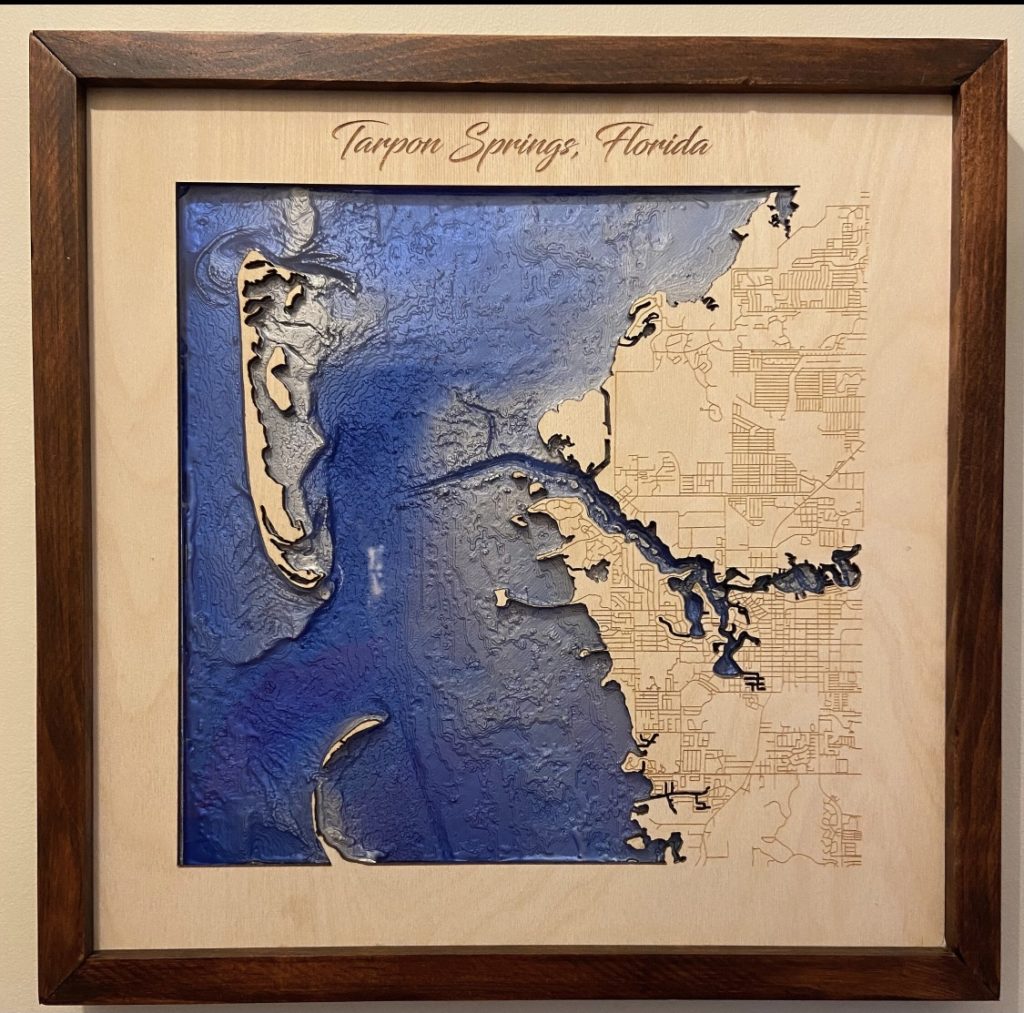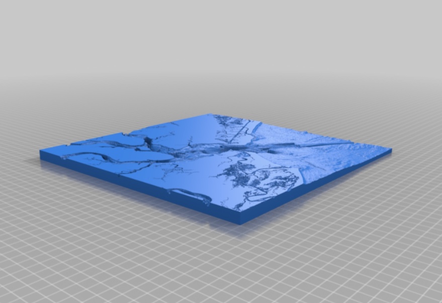
DESIGN
Designing:
This was designed using several different programs. Downloading of digital elevation model of harbor based on bathymetric survey from NOAA website. For similiar files, search for NOAA bathymetry. The file was edited in QGIS, with raster calculation required to convert positive elevations to flatten the land for display.
This was then exported to an STL via DEMto3D plugin on QGIS. The STL was edited in Blender, to clean up the file, as there was some missing data that was unsuitable for 3D printing. The model can be scaled as needed.
If you want to purchased a finished, epoxy filled, and handcrafted framed version of this with lasered birch overlay, search etsy or face book for my username NaturallyFocused256